
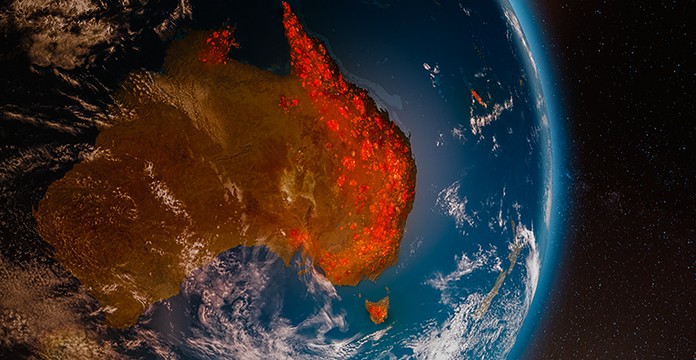
 New terrifying photos of Australia from space (satellites) show the scope and intensity of deadly wildfires raging across much of the country.
 While the worst of the fires are concentrated in the south, flames have licked the suburban fringes of Sydney in recent days, bringing fears they will spread further.The wildfires, which have been raging since September, have so far burned through eight million hectares of land across the country. New South Wales, Victoria, and South Australia have been the hardest hit.
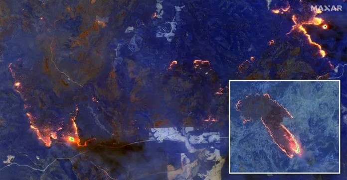 More than 135 fires were burning across New South Wales as of Monday, including nearly 70 that were considered not contained. Twenty-four people and countless animals have died, and nearly 2,000 homes have been destroyed.
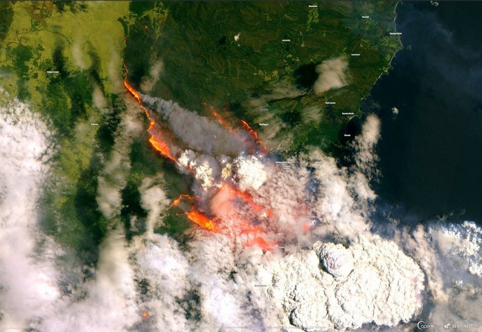
Although bushfires are common in Australia, this season has been dire. Hot, dry weather and prolonged drought have exacerbated fire conditions.While some rain brought some relief, it also created challenges for firefighters trying to execute strategic burns to help bring the fires under control.


")


