
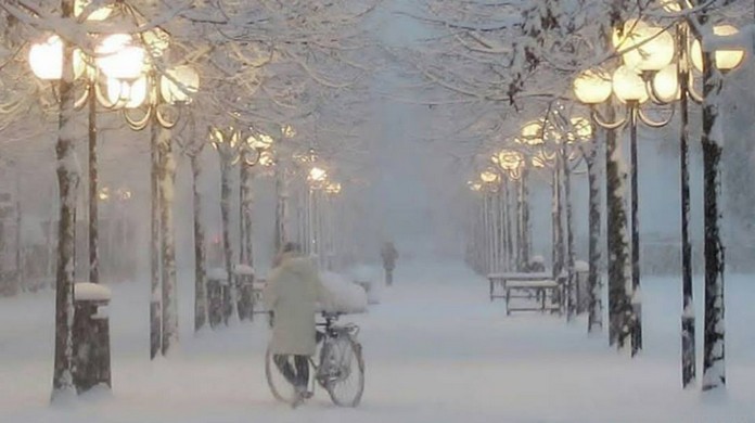
 From January 2, the high pressure will rise to the United Kingdom and then move to Scandinavia, setting in motion massive polar air masses that will soon reach Italy, causing a real thermal collapse, even of -15°C.
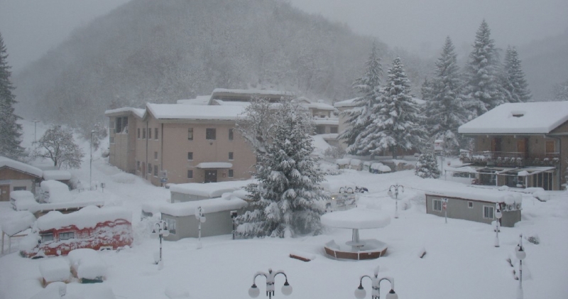 The anticyclone will maintain time mainly stable in the North, on Sardinia and the central Tyrrhenian regions, with the exception of snowfalls on the border Alps between Lombardy and Alto Adige, sometimes on the northern Dolomites.
  It will also return to the snow up to very low altitudes, locally on the coasts, because from the evening of Wednesda there will also be a low pressure center able to carry more and more widespread rainfall from the Marche to Puglia.
 Elsewhere between Campania, Puglia, Basilicata, Calabria and Sicily the snowfall will be between 150-400m of the peninsular areas and the 900-1200m of Sicily.


")


