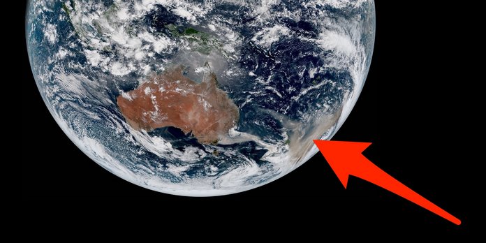
 Australia’s raging wildfires are so bad that satellites thousands of miles above Earth can easily spot their flames and smoke from space.
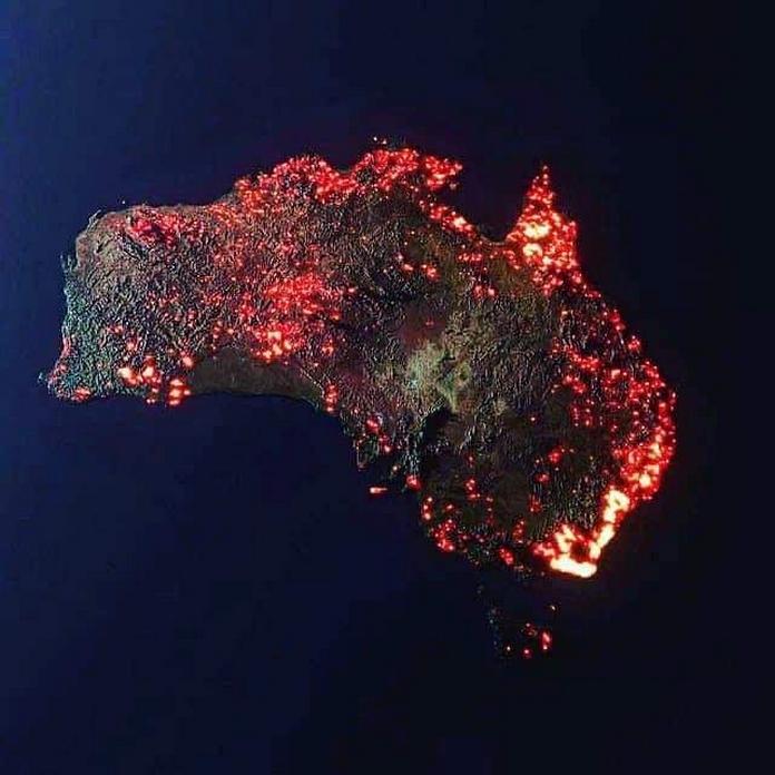
 Current estimates suggest eastern Australia’s bushfire crisis has scorched more than 14 million acres of land, killed about half a billion animals, and displaced hundreds of thousands of people.
 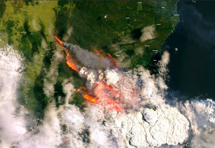 Daytime satellite views of the ground are equally if not more dramatic. The European Space Agency’s Sentinel-2 satellite took this image of growing bushfires while passing over Bateman Bay on New Year’s Eve.
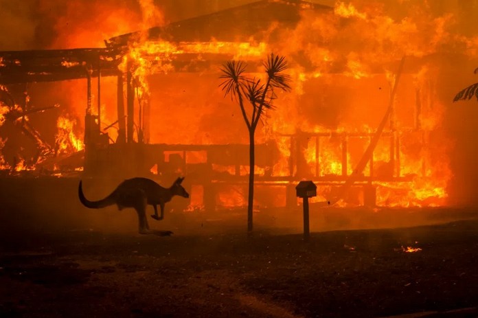
So far the bushfires have chewed through more than twice the area that burned in Amazon’s rainforests during 2019.